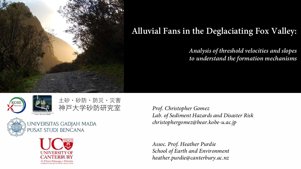
")


Yousefi, S., Mardanian, S., Imaizumi, F., Gomez, C. Debris flow susceptibility mapping using neural networks and deep learning with SHAP-based interpretation in Chaharmahal and Bakhtiari Province, a semi-arid mountainous region of Iran. Earth Sci Inform 19, 127 (2026). https://doi.org/10.1007/s12145-026-02179-7
This study evaluates four models across two modeling paradigms to develop debris flow susceptibility maps for Chaharmahal and Bakhtiari Province, Iran, a semi-arid, mountainous region spanning 1,655,300 ha prone to debris flow hazards. The models include Multi-Layer Perceptron (MLP) and Self-Organizing Map (SOM) (Neural Networks, NN) and Convolutional Neural Network (CNN) and Long Short-Term Memory (LSTM) (Deep Learning, DL). A debris flow inventory of 713 points (288 debris flow, 425 non-debris flow) was compiled, and collinearity analysis on 25 environmental variables reduced to 19 variables (e.g., flow accumulation, slope degree, rainfall) after excluding highly correlated factors (e.g., topographic roughness index, average rainfall). Models were trained on 465 points and validated on 248 points, with susceptibility maps delineated into five zones (Very Low, Low, Moderate, High, Very High) using the natural break algorithm. Results show MLP and CNN emerged as the most accurate supervised models, achieving AUC values of 0.91 and 0.90, respectively, with RMSE values of 0.35 and 0.35, indicating high discriminative ability and low prediction error. LSTM achieved moderate performance (AUC: 0.86), while SOM, employed as an unsupervised clustering method for exploratory analysis, showed limited predictive capability (AUC: 0.70). For MLP, susceptibility zones were distributed as Very Low (81.4%), Low (6.4%), Moderate (2.1%), High (2.2%), and Very High (7.9%). CNN allocated 68.6% to Very Low, 16.4% to Low, 6.2% to Moderate, 4.3% to High, and 4.5% to Very High. The SHAP analysis underscored topographic wetness index (0.11), surface sand content (0.07), slope length (0.06), flow accumulation (0.06), and depth to bedrock (0.05) as primary predictors, illustrating the significant roles of hydrological, topographic, and soil-related factors in driving debris flow eventsShow less
イランのチャハールマハール・バフティヤーリー州(面積165万5,300ヘクタール、土石流災害の発生しやすい半乾燥・山岳地域)を対象に、2つのモデリングパラダイムにまたがる4種類のモデルを用いて土石流危険度マップを作成し、その性能を評価した。使用したモデルは、多層パーセプトロン(MLP)および自己組織化マップ(SOM)(ニューラルネットワーク、NN)、畳み込みニューラルネットワーク(CNN)および長短期記憶(LSTM)(深層学習、DL)である。713地点(土石流発生地点288、非発生地点425)からなる土石流インベントリを作成し、25の環境変数に対して共線性分析を行い、相関の高い因子(地形粗度指数、平均降雨量など)を除外した結果、19変数(流量集中度、傾斜角、降雨量など)に絞り込んだ。モデルは465地点で学習し、248地点で検証を行い、危険度マップは自然分類(ナチュラルブレイク)アルゴリズムを用いて5段階(極めて低い、低い、中程度、高い、極めて高い)に区分した。
結果として、MLPおよびCNNが最も精度の高い教師あり学習モデルであることが示され、AUC値はそれぞれ0.91および0.90、RMSE値はいずれも0.35であり、高い判別能力と低い予測誤差を示した。LSTMは中程度の性能(AUC:0.86)を示した一方、探索的分析のための教師なしクラスタリング手法として用いたSOMは、限定的な予測能力(AUC:0.70)にとどまった。MLPによる危険度区分の割合は、極めて低い(81.4%)、低い(6.4%)、中程度(2.1%)、高い(2.2%)、極めて高い(7.9%)であった。CNNでは、極めて低いが68.6%、低いが16.4%、中程度が6.2%、高いが4.3%、極めて高いが4.5%を占めた。
SHAP分析の結果、地形湿潤指数(0.11)、表層砂含有率(0.07)、斜面長(0.06)、流量集中度(0.06)、基盤岩深度(0.05)が主要な予測因子として抽出され、水文学的・地形学的・土壌関連因子が土石流発生を左右する上で重要な役割を果たしていることが示された。