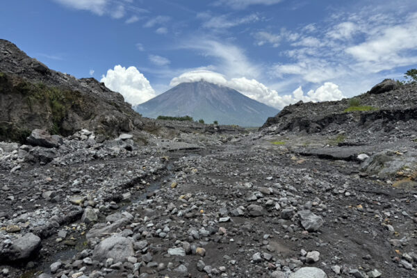
博士課程の大海陸人さんがインドネシア・セメル火山火山にフィールド調査
Rikuto DAIKAI is doing research work at Mt. Semeru in Indonesia, where he is recording LiDAR data from UAV in collaboration with the research team of UMS (Universitas Muhammadiyah Surakarta).

Rikuto DAIKAI is doing research work at Mt. Semeru in Indonesia, where he is recording LiDAR data from UAV in collaboration with the research team of UMS (Universitas Muhammadiyah Surakarta).
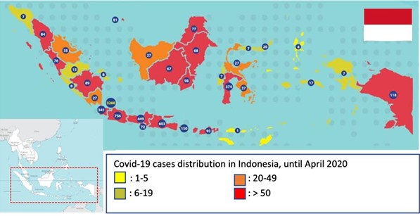
Available at: THE ASSESSMENT RELATIONSHIP BETWEEN LAND SURFACE TEMPERATURE (LST) AND BUILT-UP AREA IN URBAN AGLOMERATION
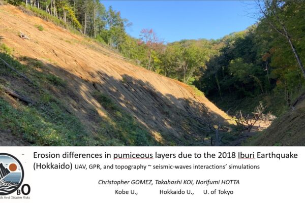
In this work, I present a p-wave simulation interaction with soil and topography, which explain the contribution of p-waves to coseismic landslides (usually discarded parameter, because of historical academic field evolution).
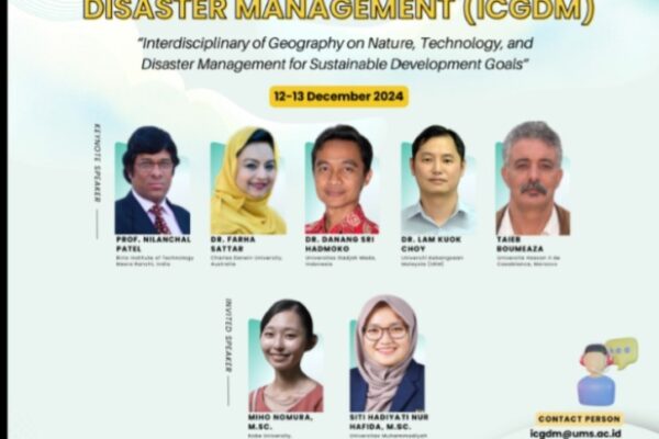
M. Nomura will share her research at the national conference on disaster risk at UMS this month.
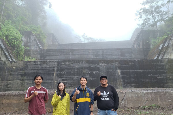
For their PhD research, Daikai Rikuto is going to Mt Merapi and Mt Semeru to study lahars with the team from UMS, while M. Nomura is working on microplastics in Indonesian rivers with the UGM team. Mr. Daikai will be continuing research with the team he met last year.
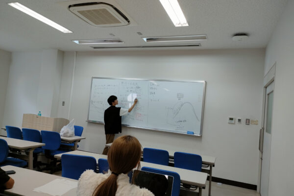
This semester, Sho Sawada is teaching Laboratory skills to third year students, using part of his research on volcanic pumices. It provides a window on the research process to the younger generation.
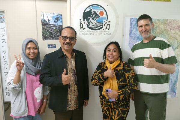
Agricultural science university colleagues and friends from UGM in Yogyakarta and Manado in Sulawesi came to visit the laboratory to discuss and strategize collaborations in the coming years.
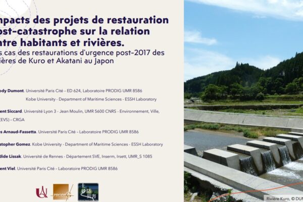
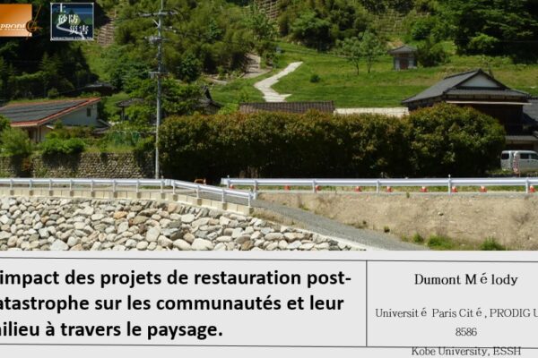
Melody has been researching the role of the sediment events against the reconstruction projects on the landscape change and how the valley has changed. She has used the spatial framework of the “Satoyama” to express her ideas, and she also looked at how how disaster risk is also disrupting the intangible landscape, such as “matsuri”…
2029・01.02:コチュテル博士課程のデゥモンさんがフランスのリョン大学に博士研究を発表する。同じイベントにシカールさんも発表する。