
")


")
- PROJECT 7 – Noto Peninsula Coastal and Mountain Earthquake, Geomorphology and SABO
- PROJECT 6 – Anthropogenic Coastal Environment: Sediment Transport and Plastics/Microplastics
- PROJECT 5 – Indonesian Volcanoes (Merapi, Semeru) PDCs, Lahars and anthropic impacts
- PROJECT 4 – Peri-urban geomorphology and forestry (climate change, human impacts and mgt)
- PROJECT 3 – High-Precision Agriculture in Central Java (Indonesia)
- PROJECT 2 – Unzen, 25 years later
- PROJECT 1 – Asakura, Heavy Rainfalls and Sediment Hazards and SABO
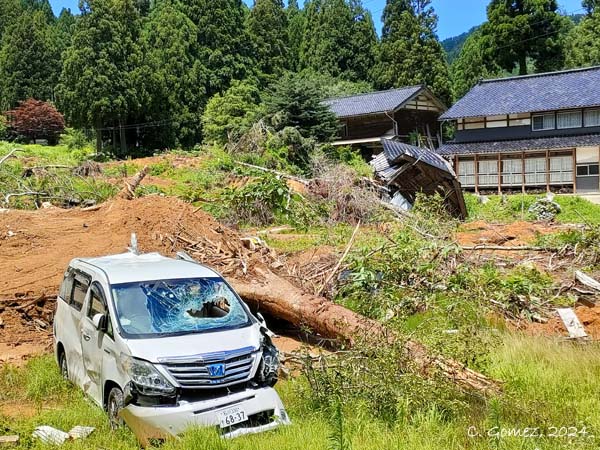
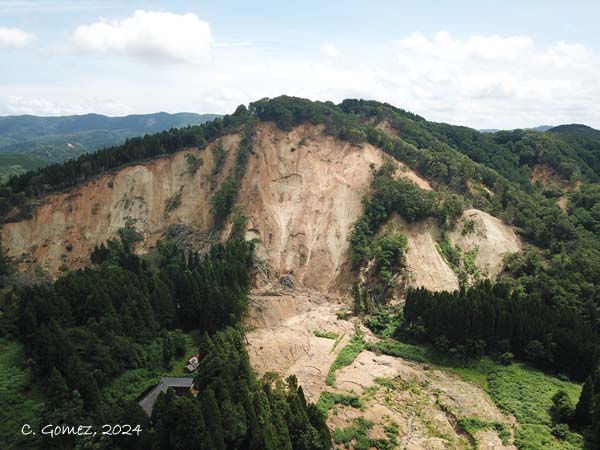
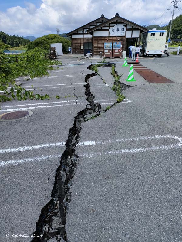
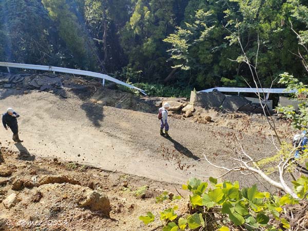
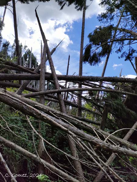
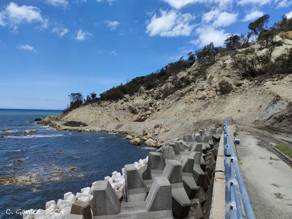
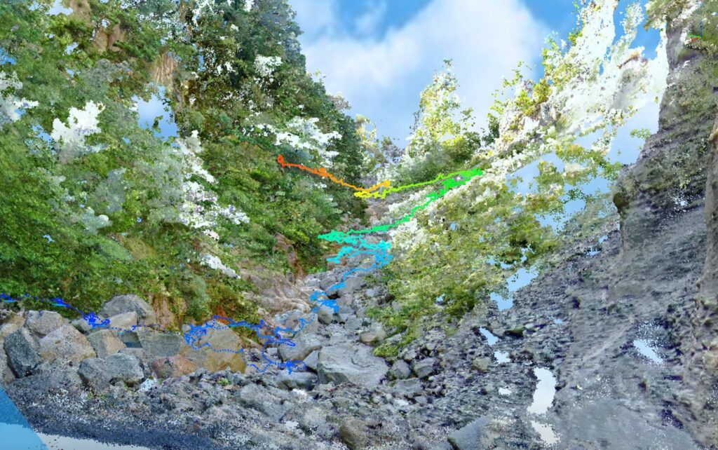
PROJECT 7: NOTO PENINSULA COASTAL & MOUNTAIN QUAKE
NOTO PENINSULA 2024/1/1 Co-seismic Landslides and Coastal Flooding Hazards and Future
PI: Prof. Christopher Gomez
On January 1st 2024, a strong earthquake shook the Noto Peninsula, triggering a plethora of shallow to deep-seated landslides in the mountainous peninsula and along the coast, disrupting the road network and port infrastructure and flattening numerous dwellings.

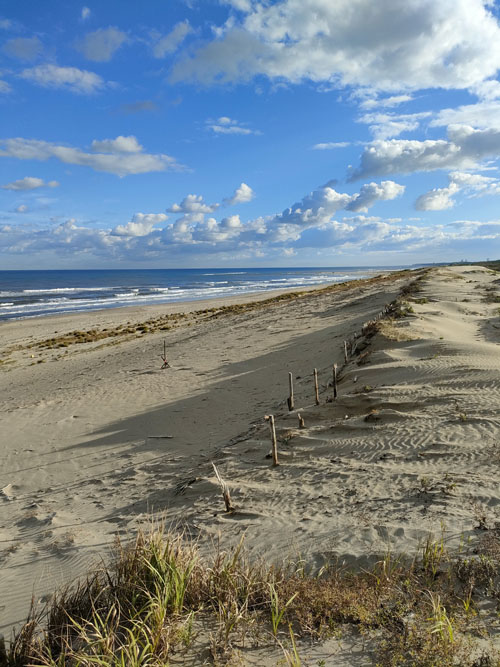
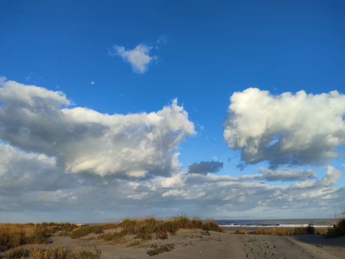
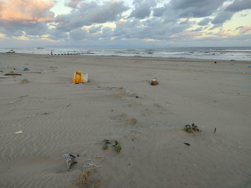
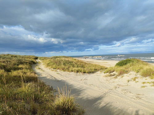
PROJECT 6: ANTHROPOGENIC COASTAL ENVIRONMENT
Coastal shores and dunes of Japan – Erosion, Micro- and Macro-morphology, human impacts and ecology
PI: Prof. Christopher Gomez
(Research funded by the Kobe University IMARC Research Centre)
This project concentrates on Japanese shorelines and investigates questions at the intersection of climate change, sea level change, erosion, and erosion control (SABO), and human interaction with the coast (erosion, pollution, and ecological impacts). このプロジェクトは日本の海岸線に焦点を当て、気候変動、海面変化、侵食および侵食対策(砂防)、そして人間と海岸との相互作用(侵食、汚染、生態系への影響)が交わる領域における課題を調査しています。
The research projects are divided as follows:
(1) Plastic pollution of the shores – How much plastic debris are located on the shores, and trapped in the dunes? What is the fate of plastics and microplastics? How do they get permanently incorporated into the natural environment?
(2) Coast geomorphology, vegetation, and climate change – How is the sand moving on the shores? What are the vegetation-based solutions that can be adopted? How fast does the sand move?
(3) Coastal dune ecology and human impacts – Sand dunes vegetation and ecology (organisms living in the sand) is vulnerable to crushing by car tires and other human impacts. How much driving is occurring on the Japanese shores? What about the sand dunes? How are human impacts modifying the dune shapes?
(4) Waves, tsunamis, sea level change interaction with the coast – What is the interplay between coastal processes and the sediment stocks and ecology?
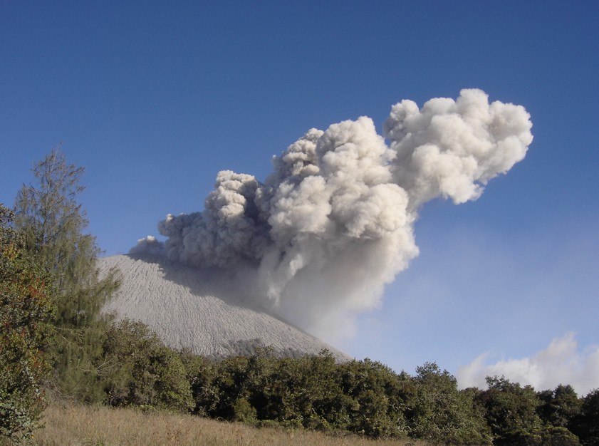
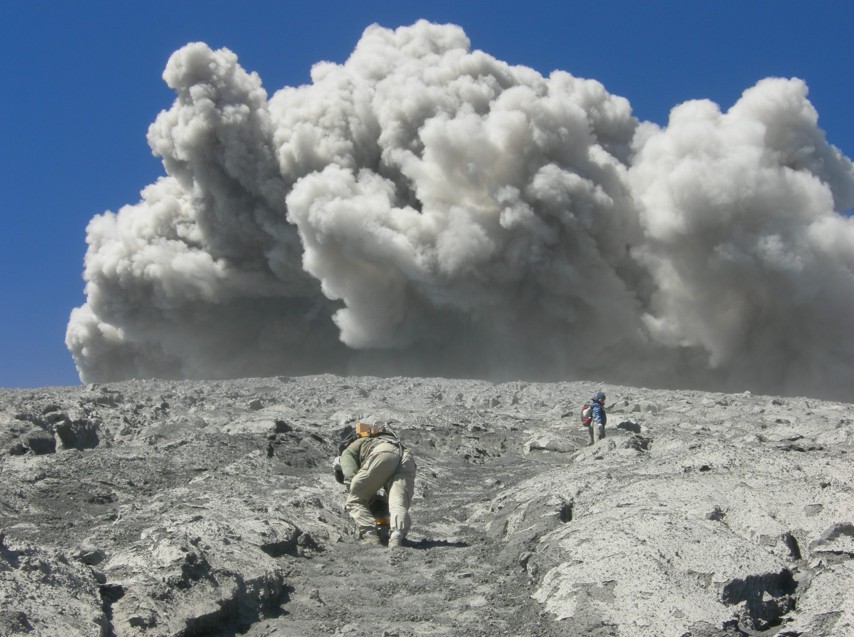
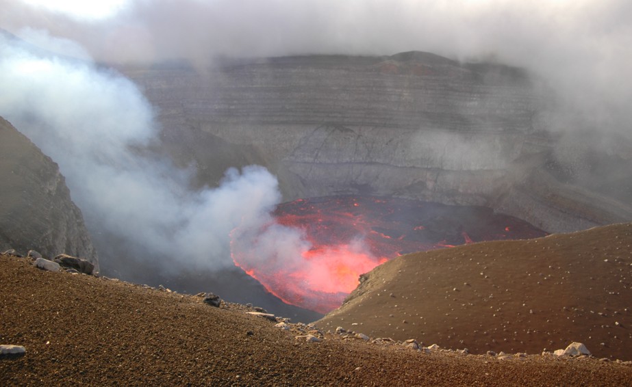
PROJECT 5: INDONESIAN VOLCANOES PDCs and LAHARS
Rain-triggered Hazards and Disaster Risks on Volcanoes in Indonesia and Japan
PI: Prof. Christopher Gomez
(under multiple fundings and collaborations nationally and internationally)
Volcanoes attract attention when they go with a bang, and then scientists slowly look away for the next explosion or eruption. I am interested in the hazards and disaster risk in the period that starts from the eruption and then continues when the volcano tries to act like a simple mountain. During this period the material stock changes, landslides and debris-flow take the relay with more complex temporality. The objective of the research is thus to quantify and understand the disaster risk of lahars, landslides and other types of flooding occurring from and on volcanoes. We investigate these issues in Japan and in Indonesia, where heavy rainfalls, typhoons, and snowmelt water (Hokkaido) make for the perfect open laboratories, while also being instrumental in the local sustainability and resilience.
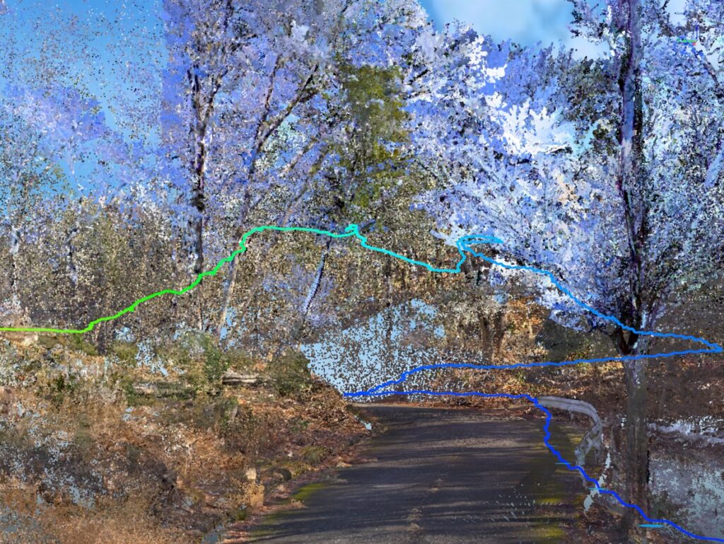
PROJECT 4: PERIURBAN ANTHROPOGENIC ENVIRONMENT
Peri-urban Geomorphology and Forestry – Measuring the Anthropogenic and Nature co-creation of Landscapes and Environmental Processes: Research in Kobe and its vicinity
PROJECT 3: HIGH-PRECISION AGRICULTURE
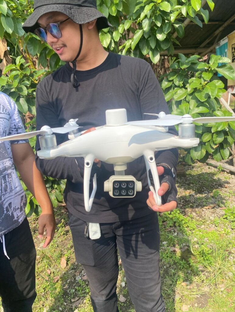
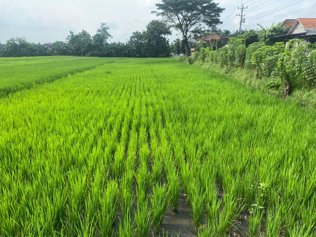
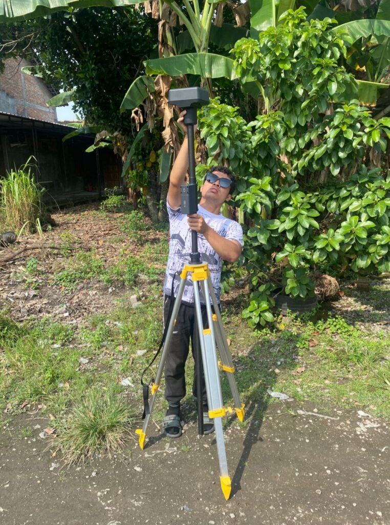
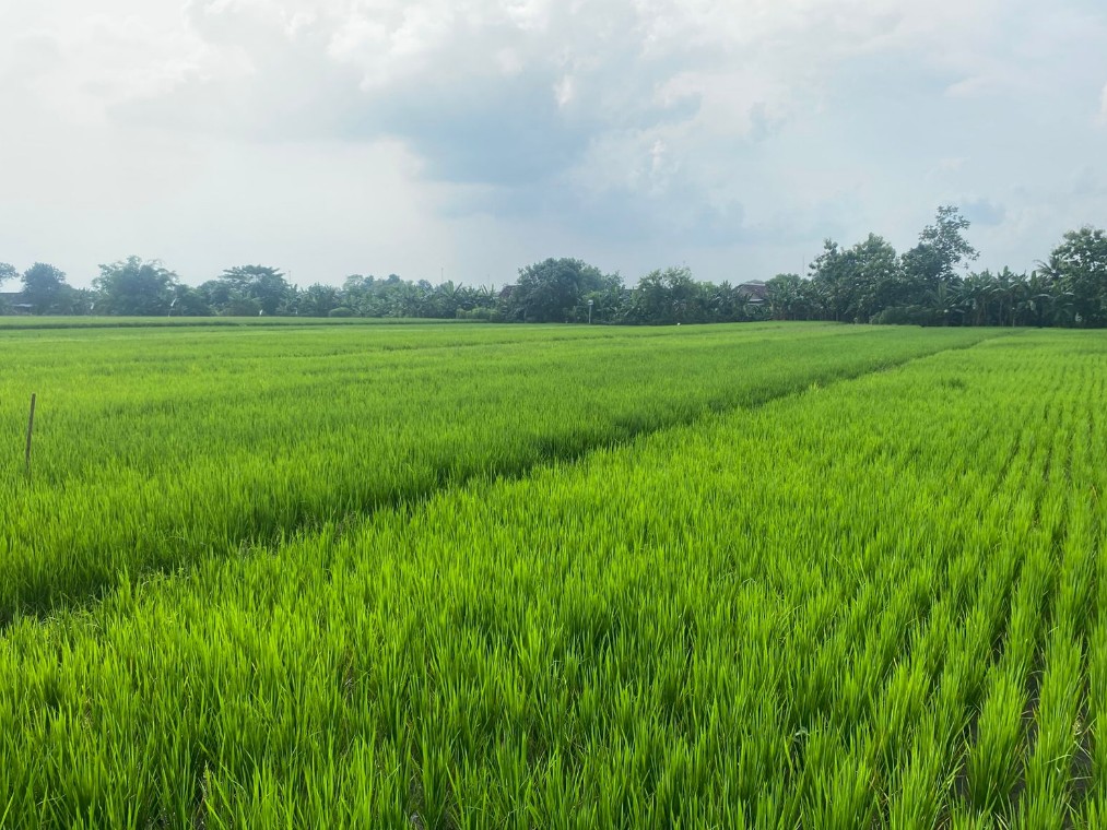
Multispectral UAV Approaches for Early Identification of Rice Diseases and Pests Infestations in Java, Indonesia (2025 -)
PI: Dr. Aditya SAPUTRA (UMS, Indonesia)
co-PI: Prof. Christopher Gomez (KU, Japan)
Early detection of the health of rice plants is essential for preventing crop loss, improving resource efficiency, and enhancing yield and quality. Identifying diseases and Pests early allows farmers to implement targeted treatments, reduce chemical use, and optimize resource allocation, leading to cost savings and higher productivity. This approach supports sustainable farming by minimizing environmental impact and preserving soil health. Multispectral UAVs detect distinctive spectral signatures from unhealthy rice plants, revealing changes in colour, reflectance, or stress. Diseases often cause discoloration or reduced chlorophyll content, visible through Near Infra-Red (NIR) and light reflectance. Similarly, pest infestations alter plant reflectance patterns. By analysing this spectral data, areas with stressed plants or symptoms of disease or pest damage can be precisely identified, allowing for early targeted interventions like pesticide or fertilizer application before significant damage occurs. The objective of the research is to identify rice diseases and pests infestations in the southeast flank of Merapi Volcano. We hypothesis that analysing the ratio of reflected light in different spectral bands will reveal the presence of diseases or pests. The methods used include integrated remote sensing techniques to obtain reflectance data, field observation to identify physiological symptoms, and laboratory analysis to conduct detailed disease diagnosis.
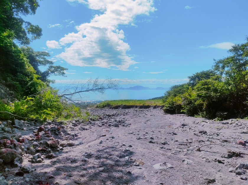
PROJECT 2: UNZEN, 25 YEARS LATER
As the effects of the last eruption (1991-1995) fade away against transitional geomorphologic processes, the project explores those processes and the associated hazards using LiDAR, aerial imagery, Drone LiDAR and photograhs, ground cameras and ground mobile LiDAR.
PROJECT 1: THE 2017 ASAKURA HEAVY RAINFALL & MASS-MOVEMENTS HAZARD
In 2017, an exceptional rainfall event for the location sent concentrated rainfall over the same mountainous watersheds, creating an atmospheric river that generated mass movements in excess of thousands.